Library Catalog
Latest Documents and Publications listed. Use search terms in the box below to find what you need
RSM-02 Estimating Cultivable Areas in Central and Southern Somalia using Remote Sensing
Somalia is largely a hot, arid and semi-arid country with rainfall amounts averaging between 50 and 500 - 600 mm per annum (even though some areas may receive slightly higher amounts).To provide a first estimate of the cultivable land, this study analyzed ASTER satellite images (and where not available, other medium resolution images) for 2010 and 2011 to generate information about cultivation in central and southern Somalia. The results of this study will be the basis for a successive, more accurate analysis which will include sampling approaches and field validation (through FAO emergency staff and FSNAU monitors) in order to establish the potential cultivable land and estimate production for the different cropping systems at farmer and district levels.
Publication Type:
Technical report
Publication Date:
Author:
Oduori S. M., Oroda A.S., Gadain H.M.
Corporate Author:
Somalia Water and Land Information Management, Nairobi (Kenya)
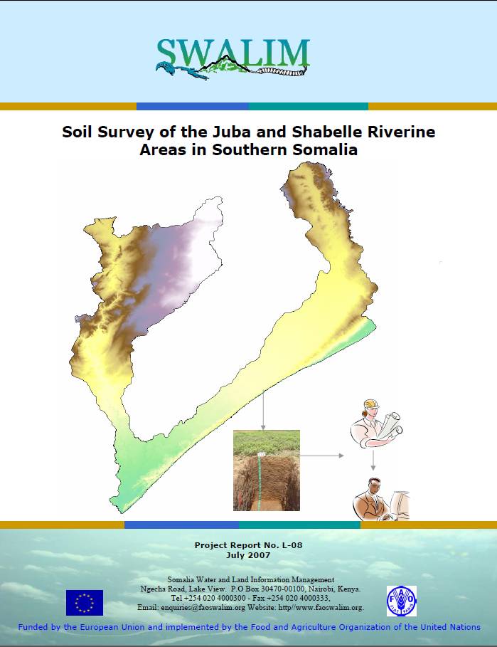
L-08 Soil Survey of the Juba and Shabelle Riverine Areas in Southern Somalia
Soil information is a key element for natural resources planning. A key output of this study is a soil map with a scale of 1:100, 000 containing the major soil types as well as soil maps for some of the irrigation projects along the Juba and Shabelle river catchments. Further, the report contains information on soil physical and chemical properties, which are key elements for natural resource management. Soil spatial variability is described for an area of approximately 88,000 km2 in the Juba and Shabelle riverine areas in Southern Somalia. This study is essential for carrying out land suitability and land degradation assessments
Publication Type:
Technical report
Publication Date:
Author:
Corporate Author:
L-08 Shan Ciid ee Meelaha Gosha Webiyada Juba iyo Shabelle gudaha Koonfur Soomaaliya
Macluumaad ciid waa wax muhiim u ah qorshaynta khayraad dabiiciyeed. Waxsoosaar muhiim ah ee daraasadan waa khariidad ciideed leh baaxad ah 1: 100, 000 ay ku jiraan noocyada ciidda u badan iyo sidoo kale khariidado ciid ee qaar ka mid ah mashaariicda waraabka ee jiidda biyo qabadyada Webiga Juba iyo Shabeelle. Intaas waxaa dheer, warbixinta waxaa ku jira macluumaad ku saabsan sifooyin oogada iyo kiimikada ciidda, kuwaas oo ah waxyaabo muhiim u ah maareynta khayraad dabiica. Kala duwaanshiyo masaaxad ciideed ayaa laga faaleeyey oo ku dhow 88,000 km2 gudaha dhulka gosh Webiyada Jubba iyo Shabeelle ee koonfurta Soomaaliya. Daraasadani waxay muhiim u tahay in la fuliyo qiimeyno ah haboonaanshiyo dhul iyo xaaluf dhul.
Publication Type:
Technical report
Publication Date:
Author:
Corporate Author:
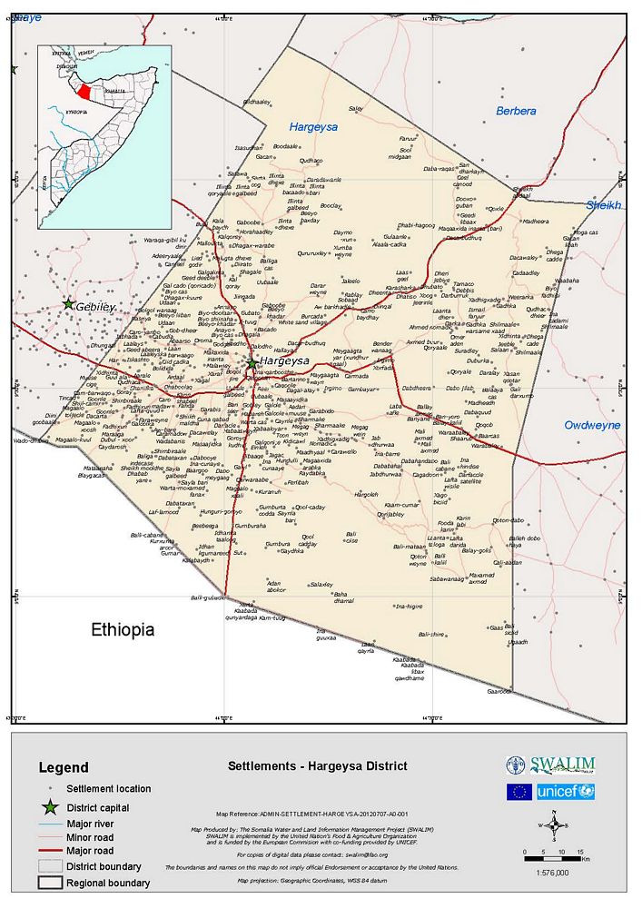
District Administrative - Hargeysa
these are maps that show the general administrative boundaries of Somalia (National, Regional and District administrative boundaries) as well as settlements, towns, rivers, roads and other general geo-information.
Publication Type:
Map
Publication Date:
Author:
Somalia Water and Land Information Management, Nairobi (Kenya) - SWALIM
Corporate Author:
Assessment of Charcoal Driven Deforestation Rates in a Fragile Rangeland Environment in North Eastern Somalia Using Very High Resolution Imagery
Multi-temporal very high-resolution satellite images and field work have been used for quantifying the tree cutting rate over a 5 years period in a very arid tiger bush area of North Eastern Somalia with intensive charcoal production activities. By applying both a classical area frame sampling approach with visual interpretation of the samples and a semi-automatic tree detection algorithm, it was possible to create baseline tree density layers for the 2 years of observation and to quantify the tree cutting rates for the period from 2001 to 2006. An average annual tree loss of −2.8%, coupled with the total absence of regrowth during the 5 years study period, confirm the tremendous ecological impacts of charcoal driven tree cutting on tiger bush vegetation. Analysis of the results evidences spatial and temporal patterns in the cutting locations and poses the basis for a better understanding of the ecological and human dimensions of deforestation in the fragile rangeland environment of Northern Somalia.
Publication Type:
Journal Article
Publication Date:
Author:
Oduori S. M., Rembold, Vargas R .R., Abdulle
Corporate Author:
A Framework for National Assessment of Land Degradation in the Drylands: A Case Study of Somalia
Land degradation is a gradual, negative environmental process that is accelerated by human activities. Its gradual nature allows degradation to proceed unnoticed, thus reducing the likelihood of appropriate and timely control action. Presently, there are few practical frameworks to help countries design national strategies and policies for its control. The study presented here developed a framework for the national assessment of land degradation. This framework is envisaged to support governments in formulating policies on land degradation. It uses time-series remote sensing data to identify the rate and extent of land degradation, local experts to identify prevalent degradation types and drivers of the degradation and field observations to validate the overall assessment.
Its simplicity, use of freely downloadable input data and self-triangulation of the assessment methods make it suitable for rapid assessment of land degradation on a national scale. It was tested in Somalia, where it exhibited accuracy greater than 60 per cent when assessing land degradation. This framework is relevant for designing national strategies and policies that address land degradation and provides an opportunity for accurate identification of areas to target with comprehensive local assessment. Testing of the framework in Somalia showed that about one-third of the country was degraded because of loss of vegetation cover, topsoil loss and to the decline of soil moisture. Overgrazing, excessive tree cutting and poor agronomic practices in agricultural areas were identified as the primary drivers of the country’s land degradation. These drivers are encouraged by the prevailing communal land tenure practices, poor governance and civil war. Copyright © 2011 John Wiley & Sons, Ltd.
Publication Type:
Journal Article
Publication Date:
Author:
Omuto C, Alim M.S
Corporate Author:
SWALIM
An Assessment of the Surface Water Resources of the Juba-Shabelle Basin in Southern Somalia
The water resources of the Juba and Shabelle rivers in southern Somalia are important for irrigation and food production, but are influenced by seasonal floods. Prior to the outbreak of civil war in 1991, the Somali Ministry of Agriculture successfully operated a hydrometric network covering the Juba and the Shabelle, data from which provided input to a flow forecasting model. The war resulted in the neglect and abandonment of monitoring stations and an enforced cessation of data collection and management. In 2001 and 2002, part of the pre-war hydrometric network was reinstated and water levels were again recorded at some stations. This paper examines the implications of the 11-year hiatus in data collection, and the now much reduced monitoring network, for assessing and managing the surface water resources. The problems faced have relevance to other basins, within Africa and elsewhere, where there has been a similar decline in data collection.
Publication Type:
Journal Article
Publication Date:
Author:
Print, C., FAO
Corporate Author:
SWALIM
L-17 Mapping and Assessment of Irrigated Farms in Puntland
Irrigated agricultural areas of Puntland were mapped using Google Earth images and field based interviews with the farmers to characterize land use. Information displayed in this report includes maps of the irrigated agricultural areas and tables and pictures to show the characteristics of the irrigated agricultural areas of Puntland. The study outlines the state of the irrigated agricultural areas in Puntland and consequently points out areas which need intervention. However, this study is being updated and concluded in SWALIM V.
Publication Type:
Technical report
Publication Date:
Author:
Oduori S. M., Alim M
Corporate Author:
SWALIM
L-20 Hage Waxtar u ah Kormeerid Xaaluf Dhul
Hagahaan waxtar u ah kormeerid xaaluf dhul wuxuu bixin doonaa aalado loo isticmaali karo in la sahlo hannaan fudud oo nidaamsan oo lagula socodo isbedelo waqti-dheer ka dhici kara gudaha ciid iyo xaalado daaqba waxayna noqon doontaa qoraal loo adeegsado barnaamijyo kormeerid mustaqbal. Hababka kormeeridda fudud ee lagu soo bandhigay buugan hagaha ah waxaa loo isticmaali doonaa sidii si xilliile ah loo curiyo macluumaad tirokoobid oo ka soo jeeda goobo kala duwan oo matal ah dhul xaalufay, dhul xaalufiddu ku socoto ama dhul xaalufid u nugul oo dalka gudihiisa ah. Hannaanka la socodku wuxuu suurogelin doonaa in macluumaad ay wadaagaan dhammaan dhinacyada ku hawlan maareynta khayraadka dhulka wuxuuna ku caawini doonaa go'aan-gaareyaal qarameed iyo bulshooyin deeq-bixiye in ay go'aanno caqligal ah ka gaaraan maareynta khayraadka dhuleed.
Publication Type:
Technical report
Publication Date:
Author:
Corporate Author:
L-18 Monitoring of Golis Forest in Somalia- Report No
This study serves as a starting point towards a monitoring initiative for the Golis mountain forest. It forms part of the input to the land degradation monitoring activity initiated by SWALIM. Information generated in the study includes a map showing land cover in the Golis forest, tables and pie charts to show utilization and management of the resources of the forest. The maps in this study were generated using Landsat TM images aided by Google Earth images and ecological field surveys coupled with interviews to the local people to help characterize the forest in terms of management and utilization concerns. Information contained in this study will help in the improved management and utilization of the forest.
Publication Type:
Technical report
Publication Date:
Author:
Oduori S. M., Alim M.S
Corporate Author:
SWALIM
Pages
 RSS feed [compliant with the Agris AP] |
  Agris AP XML


