Land Degradation Monitoring and Mapping Training Using Google Earth Engine
Land degradation is a significant issue affecting ecosystems, agriculture, and livelihoods in Somaliland. The need for effective land management practices to combat soil erosion and other forms of degradation is urgent, especially in the face of climate change and unsustainable land use practices. As such, FAO SWALIM, in partnership with the Information Management Centre (IMC) Somaliland, organized a 9-day intensive training on Land Degradation Monitoring and Mapping using Google Earth Engine (GEE). This training was crucial in building the technical capacity of key personnel from IMC and line ministries, equipping them with the tools and knowledge required to assess and monitor land degradation using advanced geospatial technologies.
The training, held from 8th to 19th September, 2024, provided participants with comprehensive knowledge of land degradation dynamics, its causes, and impacts, focusing on soil erosion as a major form of degradation. The participants learned to use GIS and remote sensing technologies, including satellite imagery from platforms such as Landsat, Sentinel-2, and MODIS, to monitor changes in land cover and assess degradation over time. A major focus was on the practical application of the Revised Universal Soil Loss Equation (RUSLE) model, which enables the calculation of soil loss by integrating factors like rainfall erosivity (R), soil erodibility (K), slope length and steepness (LS), crop management (C), and conservation practices (P).
Participants were guided through each step of the RUSLE model implementation using GEE, learning how to process and visualize spatial data, calculate soil loss, and export the results. In addition to GEE, participants were shown how to create detailed soil loss maps using QGIS, which included the addition of essential map elements like titles, legends, and grid systems. This hands-on experience ensured that participants could practically apply these skills in real-world contexts to monitor land degradation more effectively.
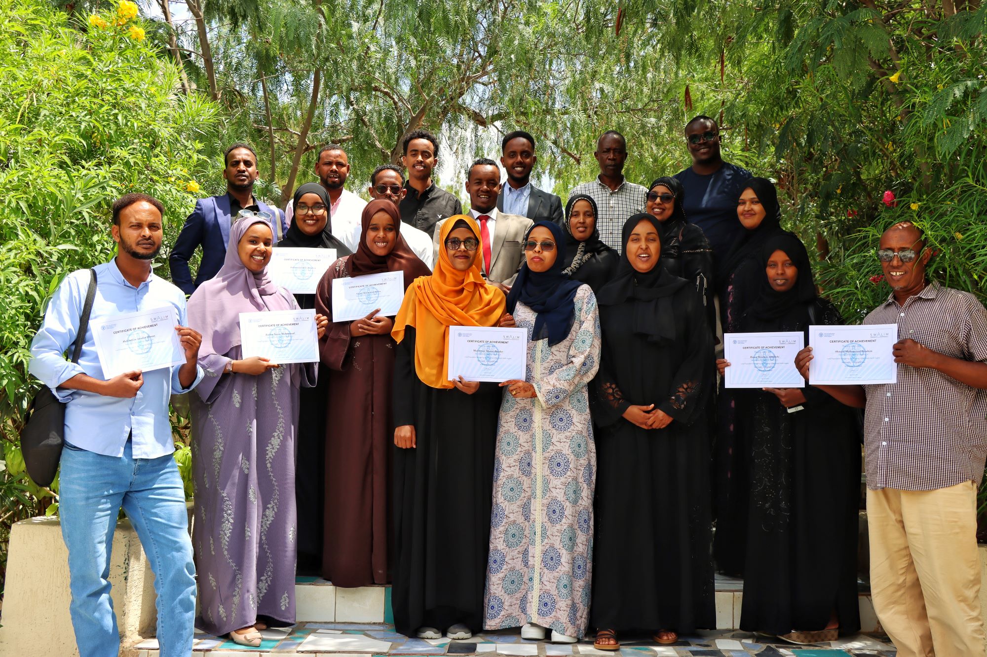
The importance of this training goes beyond the technical skills gained. The participants, who included staff from IMC and various line ministries, are now better equipped to use data-driven approaches in decision-making related to sustainable land management. The knowledge and skills they gained will be applied in ongoing efforts to monitor land degradation, enhance land use practices, and implement erosion control measures. Since the first step in these efforts is identifying degraded areas, this training provided the necessary tools to do so. The training has empowered these key actors to take a more proactive role in combating land degradation, which will ultimately support the conservation of natural resources and the promotion of sustainable agricultural practices in Somaliland. Participants were awarded certificates of completion, recognizing their dedication and commitment throughout the training.